
日本を英語で伝える
Weekly News Digest
ニュースディスカッション教材
Japan's Rainy Season Delayed:
Latest Forecast
Japan's Rainy Season Delayed:
Latest Forecast
Latest Forecast
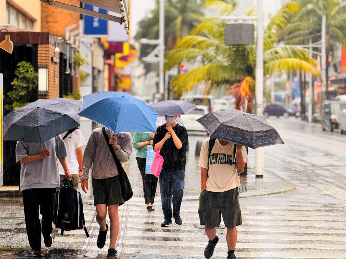
毎年やってくるじめじめとした梅雨。雨が続くと気持ちも下がりがちになってしまいますが、自然にとっては「恵みの雨」でもあり、大切なものでもあります。今年は梅雨入りが少し遅れるようです。
1.Article
Directions: Read the following article aloud.
※本ページは出典ニュース記事を要約した英文です。
According to the Japan Meteorological Agency's (JMA) latest forecast on June 10, the Kanto-Koshin region is expected to enter the rainy season around June 16. This is eight days later than the usual onset of the rainy season, which typically occurs around June 7.
If the rainy season front does not move northward by June 16, some areas may see temporary clear skies due to high pressure. This could result in a significant delay in the start of the rainy season, especially in regions like Kanto-Koshin.
According to the JMA, this year, the northward extension of the Pacific high-pressure system is weaker. Additionally, the westerly winds are meandering further south than usual, causing a delay in the northward movement of the rainy season front.
The JMA forecasts the stationary rainy season front, lingering south of Japan's Nansei Islands, will move northward towards Honshu after June 15. This shift is expected as the Pacific high-pressure system strengthens. It also anticipates that the rainy season will begin in Kyushu to Kanto around this time, at the earliest.
If the rainy season starts after June 17, areas like Kanto-Koshin could experience it beginning in late June. Rainy season onset in the Kanto-Koshin region occurred as late as June 22 in 1967 and 2007, a phenomenon not observed for 17 years.
Northern Kyushu and the Chugoku region are expected to experience the start of the rainy season around June 16. This would mark the fifth latest recorded occurrence in the respective areas.
Across all regions, the onset of the rainy season is anticipated to be later than usual this year. Okinawa and Amami have already entered the rainy season, experiencing delays of nine and eleven days, respectively, compared to most years. Additionally, southern Kyushu, also delayed by nine days, and Shikoku, delayed by four days, have seen the start of the rainy season.
Source:Japan's Rainy Season Delayed:
Latest Forecast
JAPAN Forward
本教材は、一般社団法人ジャパンフォワード推進機構、株式会社産経デジタルより許諾を得て、産経ヒューマンラーニング株式会社が編集しています。
テキストの無断転載・無断使用を固く禁じます 。